A crucial input for weather
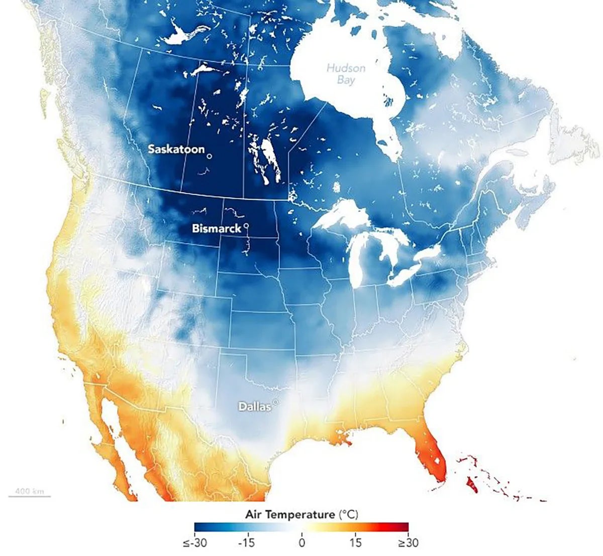
As spring warms the U.S. each year, the Northern Hemisphere’s SPV dissipates, and a new vortex develops around the South Pole. While active, SPV can vary dramatically in strength and shape, influencing global weather events such as Tallahassee’s record-breaking snowfall in January 2025.
Generally, SPV forecasts are constructed by analyzing its day-to-day evolution over a few weeks or average strength during a given month. While effective in the short term, this method loses its accuracy when looking more than two weeks into the future. To overcome this obstacle, Secor stepped back to examine the problem from a different angle.
“Rather than trying to forecast the day-to-day evolution of the vortex, we start with the idea that its broader behavior over the course of the year may be more predictable,” Secor said. “We then use climate patterns such as the El Niño-Southern Oscillation, or ENSO, a temperature-based, recurring pattern in the Pacific Ocean known to influence the vortex, to predict those parameters in advance of winter. From there, we can work backward to reconstruct how the vortex will behave day to day, with an accuracy exceeding the current forecasting systems used by weather agencies.”
In addition to enhancing the precision of winter weather forecasting, Secor’s approach may also improve predictions of related climate phenomena with strong yearly cycles, including ENSO, which has a warm phase called El Niño and cold phase called La Niña. El Niño brings cold, rainy weather to the southern U.S. and suppresses Atlantic hurricane activity while spurring warm, dry conditions in the northern states. La Niña generates opposite effects.
Capstone work
The research was also selected for an Editors’ Highlight, a rare distinction bestowed upon fewer than 2 percent of all papers published under the American Geophysical Union’s umbrella of journals.
“Michael’s dissertation research, which represents a significant contribution for someone at this stage of his career, reflects not only his technical expertise but also the ability to rethink a long-standing problem from a fundamentally different perspective,” Cai said.
For Secor, the recognition represents the culmination of years of studying meteorology and working to advance science.
“Publishing my dissertation work feels like reaching an important milestone in a journey that began with a fascination with weather at a young age,” Secor said. “It has made me reflect on how fortunate I have been to not only have this opportunity, but also to have people in my life who encouraged my scientific interest both early on and through my doctoral studies.”
EOAS research faculty Jie Sun was also a co-author of this study.
To learn more about research conducted in FSU’s Department of Earth, Ocean and Atmospheric Science, visit eoas.fsu.edu.