FSU researchers find endangered species remain vulnerable in some marine protected areas
Florida State University researchers have found that some marine-protected areas may not work as predicted in safeguarding and conserving endangered species.
A team of international researchers found that hawksbill turtles in Brazil are most often searching for food and breeding outside the boundaries of marine-protected areas, which are designated regions of seas, oceans, the Great Lakes and estuaries set aside for conservation purposes.
The study is published in the September 2021 edition of the journal Biological Conservation.
“This means that established protections for marine migratory species are not having the intended effect, highlighting a lack of protection,” said Armando Santos, a doctoral candidate in the FSU Department of Earth, Ocean, and Atmospheric Science, part of the College of Arts and Sciences.
Santos and Associate Professor of Oceanography Mariana Fuentes assessed the effectiveness, design and impact of marine-protected areas off the coast of Brazil through the analysis of critically endangered hawkbill turtles. Their work, however, is a starting point to look at conservation strategies for other marine species.
“Armando’s work helped highlight and identify areas that should be prioritized for management and conservation when thinking about sea turtle protection,” Fuentes said. “When looking at the maps in his results, the important areas for turtles are extremely broad. It’s a huge undertaking to protect these large areas, so Armando is now using fine-scale information and data analysis to pinpoint specific areas for protection.”
Marine protected areas are among the most widely enacted strategies to conserve marine ecosystems and are typically designed to protect specific habitats rather than certain species. There are about 1,000 marine protected areas located throughout the United States, including three in the Gulf of Mexico. Across the world, there are close to 20,000 marine-protected areas.
However, just because an area is protected does not mean that the measures always work. Fisheries, marine traffic, oil and gas extraction, mining and port locations all pose significant threats to marine life.

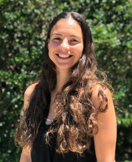
Department of Earth, Ocean and Atmospheric Science associate professor of
oceanography Mariana Fuentes. Courtesy photo.
Different levels of protection are offered by marine-protected areas, ranging from full protection from human activities to allowing for sustainable human use. By analyzing the existing threats hawksbill turtles encounter in their frequented areas, Santos and Fuentes assessed the effectiveness of each level of marine-protected areas in safeguarding hawksbill turtle habitats.
“We looked at data crucial to species conservation: spatial distribution and threat exposure,” Santos said. “This overlap of distribution and threats is important because these areas require conservation intervention. It’s also important to note that threats to species are cumulative, not individual, and consider how that magnifies the threat impact.”
This study’s dataset is the second-largest dataset of hawksbill spatial distribution in the world, and Santos plans to continue this research by next examining the diving profile of turtles to understand what drives their distribution and habitat use. This will further fine-tune the areas that require urgent protection and intervention.
“Though this research focuses on hawksbill turtles in Brazil, a lot of the work we’re doing contributes to the bigger picture of using satellite telemetry data — the collection of data at inaccessible points and their automatic transmission to satellites that’s often used in tagging marine species — and other information to inform species conservation,” Fuentes said. “Hopefully, someone working across the globe with a different migratory species can learn from this study and implement some of the findings to their location. This work is all about making information digestible to stakeholders and providing the best information for use in conservation policies.”
This research is supported by the National Science Foundation. Additional funding for this study was provided as part of licensing requirement for seismic surveys carried out by Petroleum Geo-Services and Spectrum Geo. Co-investigators include researchers from Fundação Projeto Tamar, Centro TAMAR-ICMBio, ENGEO – Soluções Integradas em Meio Ambiente, Florida Fish & Wildlife Conservation Commission, Texas A&M University, Imperial College London, and the Federal Institute of Education, Science and Technology of Rio Grande do Sul.
