El Niño and record warm ocean temperatures: FSU climatologist offers insight on what they mean for hurricanes

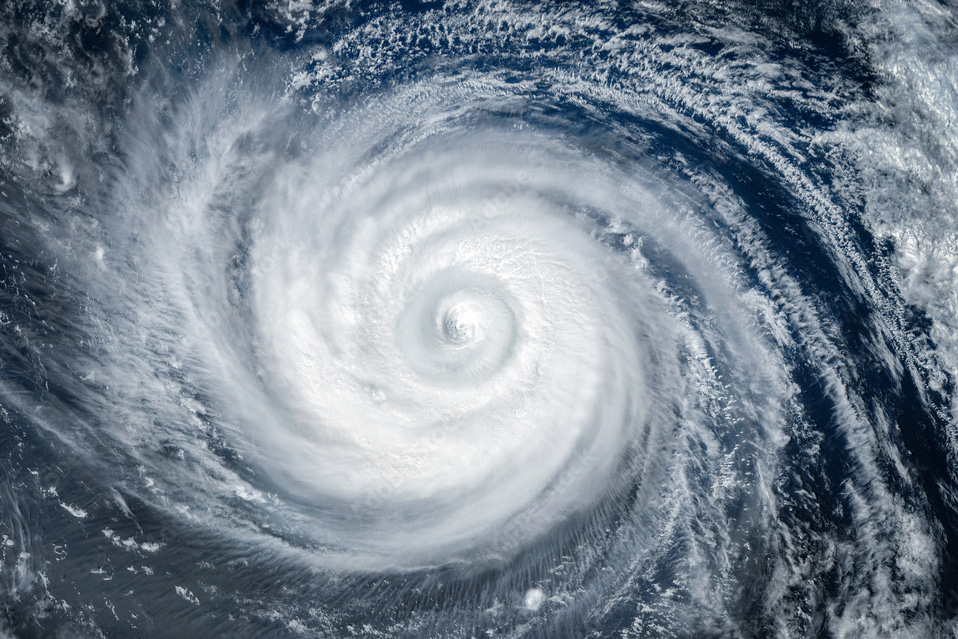
Record-breaking high temperatures in the Atlantic Ocean combined with El Niño spell uncertainty for the Atlantic hurricane season.
El Niño, known to reduce hurricane activity in the Atlantic basin, developed early this summer.
With the conflicting factors of El Nino in the Pacific leading to fewer hurricanes and warm Atlantic Ocean temperatures favoring hurricane development, seasonal forecasts are for near-normal activity with lower confidence than other years.
Around Florida, coastal ocean temperatures have risen to the mid-90s for some parts of the Florida Keys and the southwest part of the state.
In addition to threatening coral reefs, seagrass and other critical components of the ecosystem, warmer coastal waters provide heat and moisture that can fuel hurricane intensity.
David Zierden is a research associate at Florida State University’s Center for Ocean-Atmospheric Prediction Studies and serves as Florida’s state climatologist. He is available to speak to the media about El Niño, extreme temperatures and their impacts.
David Zierden, research associate, FSU Center for Ocean-Atmospheric Prediction Studies; state climatologist at the Florida Climate Center
(850) 644-3417; dzierden@fsu.edu
Zierden studies climate variability and how it affects agriculture, forestry, water and other industries and resources in the state. He has testified before a congressional committee about predicting and monitoring El Niño-Southern Oscillation, or ENSO, and its impacts.
